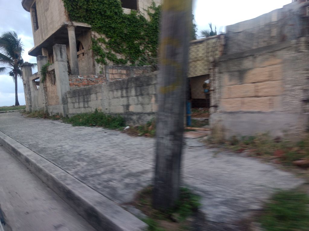
beach · La Habana
Playa de Santa Fe
Playa de Santa Fe es un(a) playa en La Habana, Cuba. Se ubica aproximadamente en 23.0833°, -82.5333°. Entre los lugares cartografiados cerca figuran Buceando en La Habana
© Mapillary contributors, CC BY-SA 4.0
Descripción
Playa de Santa Fe es un(a) playa en La Habana, Cuba. Se ubica aproximadamente en 23.0833°, -82.5333°.
En línea recta queda a 17.4 km de su capital provincial, a 17.4 km de La Habana y a 16.5 km del aeropuerto con vuelos regulares más cercano.
Los lugares registrados más cercanos en el atlas son La Puntilla (a 3.4 km al este), Playa Habana (a 4.0 km al suroeste), Playa Hollywood (a 5.0 km al suroeste), Playa de Jaimanitas (a 5.0 km al este), Cayo Cachón (a 6.3 km al suroeste) y Río Santa Ana Lighthouse (a 3.2 km al sur).
Lo destacado
Verified highlights
Source-backed classifications from the CubaAtlas record — each opens the places that share it. No star ratings.
Your companion for Playa de Santa Fe
honest data · every value datedConditions
No dataLive sea and weather conditions aren't connected here yet. When they are, this strip will summarize what's realistic to do today — and flag anything to check first — each value stamped with how fresh it is and where it came from.
Get there
23.08330, -82.53330Opens your maps app for turn-by-turn directions. CubaAtlas doesn't track your location.
Tropical outlook
LiveChecking the National Hurricane Center…
Weather
No dataAir temperature, wind, rain chance and UV for planning your day.
Weather adapters (NOAA + Cuba's INSMET) are the next feed to wire — each value will be stamped with its observation time and source.
Marine conditions
No dataSea-surface temperature, wave height, swell and currents for swimming, diving and boating.
Sea-state adapters (NOAA CoastWatch SST ~5 km, NHC marine, NDBC buoys) are queued next — near-real-time values, never a guessed number.
Water & safety
No dataWhether the water and conditions look manageable today for swimming or wading.
Once sea state and any advisories are connected, this frames conditions as favorable, use-caution, or not-recommended — always with the reason. It will never certify safety; final judgment is yours and the local lifeguard's.
Wildlife
LiveLoading recent wildlife records…
Fishing
No dataConditions for fishing, plus the standing reminder that legality is local.
Once sea state is connected, this shows whether conditions look workable — but it will always defer the question of whether fishing is permitted to local rules.
Daylight & season
Local time CDT (UTC−4). Computed from the date and coordinates — accurate to about a minute. Recent
Within the Atlantic hurricane season (Jun 1 – Nov 30). Check active advisories before coastal or boating plans.
Seismic activity
LiveChecking USGS for recent seismic activity…
Emergency
- 106Police (PNR)Recent
- 104Ambulance / medicalRecent
- 105FireRecent
- +53 7 866 4499Asistur (traveler assistance)Recent
State travel-assistance service for visitors (medical, legal, financial help).
These are Cuba's publicly published national numbers. Coverage, language support, and response times vary by area and are not verified in real time — confirm the correct local number with your accommodation on arrival.
CubaAtlas states how much it knows and how fresh it is. Values marked “No data” aren't connected yet — we show you the official source instead of guessing. Not for navigation, rescue, or legal decisions.
What's near Playa de Santa Fe
Lugares cercanos
Distances are straight-line, measured between recorded coordinates — not driving distance.
Lugares cartografiados cerca
Lugares con nombre registrados en OpenStreetMap en el entorno, del más cercano al más lejano, con su distancia.
Entre los lugares cartografiados cerca figuran Buceando en La Habana, Santa Fe, Santa Fe, Capilla de Nuestra Señora del Carmen, Museo Casa Natal de Juan Manuel Márquez, La Puntilla, Alameda del Siboney, Academia de Policía, Base Nacional de Almacenes BNA (División Oeste), Laboratorio Farmacéutico SolMed (MedSol), Laboratorio Liorad (AICA), La Coronela, Dr. Carlos J. Finlay, Planta de Citostáticos AICA, La Lisa y Doña Tania.
- Buceando en La Habana · attraction
- 1.5 km
- Santa Fe · market
- 1.7 km
- Santa Fe · district
- 1.9 km
- Capilla de Nuestra Señora del Carmen · place of worship
- 2.1 km
- Museo Casa Natal de Juan Manuel Márquez · museum
- 2.2 km
- La Puntilla · beach
- 2.3 km
- Alameda del Siboney · neighbourhood
- 5.5 km
- Academia de Policía · university
- 5.8 km
- Base Nacional de Almacenes BNA (División Oeste) · works
- 5.9 km
- Laboratorio Farmacéutico SolMed (MedSol) · works
- 6.2 km
- Laboratorio Liorad (AICA) · works
- 6.7 km
- La Coronela · neighbourhood
- 7.0 km
- Dr. Carlos J. Finlay · monument
- 7.8 km
- Planta de Citostáticos AICA · works
- 8.0 km
- La Lisa · district
- 8.8 km
- Doña Tania · market
- 9.8 km
Around Playa de Santa Fe
2,695 named civic, cultural, natural and service places are mapped within about 15 km of Playa de Santa Fe, across 33 categories. Open any category to see it on the map, centred on Playa de Santa Fe.
Notable near Playa de Santa Fe

Fábrica de Arte Cubano – FAC
Theatres & arts
La Fábrica de Arte Cubano es una galería de arte y club en La Habana, Cuba. La galería y el escenario se establecieron en el interior de una antigua fábrica de aceite de cocina, y desde entonces ha adquirido notoriedad como uno de los principales clubes nocturnos y galas de arte de la capital cubana. Varios medios de comunicación han descrito el sitio como un símbolo de la «acelerada apertura de Cuba al mundo».

Escuela Latinoamericana de Medicina
Universities & colleges
La Escuela Latinoamericana de Medicina es una universidad internacional que forma parte del Programa Integral de Salud (PIS) de Cuba.

Jardín Zoológico de La Habana
Urban parks & plazas
El zoológico de La Habana es el parque zoológico principal de Cuba y el más antiguo del país. Ocupa la antigua finca y vivero "La Rosa", propiedad del ayuntamiento. Popularmente se conoce como el Zoológico de 26, por tener su entrada principal en la Avenida 26 de la capital cubana.

Iglesia Jesús de Miramar
Places of worship
La iglesia de Jesús de Miramar es la segunda mayor iglesia de Cuba. Está situada en la Avenida Quinta, esquina a la calle un 82, en Miramar, La Habana, Cuba. Pertenece a la Arquidiócesis de San Cristóbal de La Habana.

Coliseo de la Ciudad Deportiva
Stadiums & sport
El Coliseo de la Ciudad Deportiva es una arena localizada en la ciudad de La Habana, la capital de la isla y nación caribeña de Cuba. La capacidad del estadio es de 15 000 espectadores y abrió sus puertas en 1957. Se utiliza para albergar eventos deportivos bajo techo como Baloncesto, boxeo, o esgrima y es una de las sedes del equipo nacional masculino de voleibol de Cuba.

Alberto Korda (Fotógrafo)
Historic & heritage
Alberto Fernando Díaz Gutiérrez, más conocido como Alberto Korda, fue un fotógrafo cubano. Es conocido por la famosa fotografía tomada al Che Guevara mirando el cortejo fúnebre de los muertos en la explosión del barco La Coubre, el 5 de marzo de 1960. La imagen del Che Guevara fue utilizada por manifestantes en los Movimientos sociales de 1968 en todo el mundo.
🏛️ Culture & heritage 360
🚬 Cuban craft & cuisine 16
⛰️ Nature & terrain 11
🌾 Farming & fishing 49
🏭 Industry & resources 103
🏥 Health & care 135
🎓 Education 270
🏦 Civic & services 643
🚉 Transport 22
🏟️ Sport & leisure 92
⛪ Faith 72
🛒 Shops & markets 295
🛏️ Stay 627
What Playa de Santa Fe makes
150 working sites mapped — energy, industry, mining, farming, fishing and ports.The whole economy →
⚡ Energy 8
Batería Grupo Electrógeno CUJAE · Batería Grupo Electrógeno Fábrica de Oxígeno · Batería Grupo Electrógeno Planta Pico · Parque Solar Fotovoltaico 3CE · …
🏭 Industry 98
Agencia Contenedores Palco · Aguas de La Habana Base de metraje Oeste · Almacén ATI · Almacén central FASE · …
🌱 Farming 43
Cultivos de Moringa · Cultivos de Moringa · Cultivos de Moringa · Granja Avícola · …
🐟 Fishing 1
Laguna de Crianza de Peces
Official information and sources
generated from facts
- Wikidatageographic
- Wikimedia Commonsmedia