municipality · Sancti Spíritus
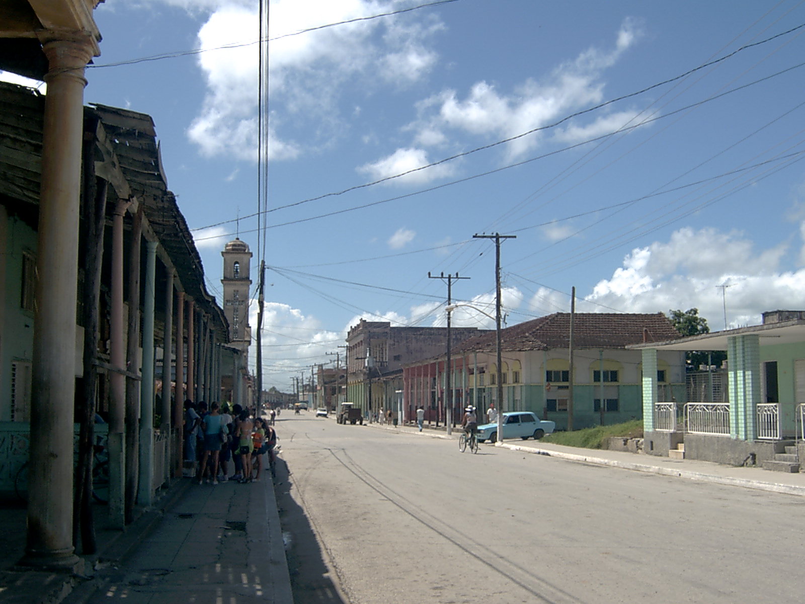
Cabaiguán
Cabaiguán é um(a) município em Sancti Spíritus, Cuba. Localiza-se aproximadamente em 22.0839°, -79.4953°. Entre os locais mapeados nas imediações contam-se Monumento de F
Visão geral
Cabaiguán is a municipality and town in the province of Sancti Spíritus, Cuba. With an urban population of 42,075 is the 3rd largest town of the province. It is bordered to the north by the municipality of Yaguajay, to the east with the municipality of Taguasco, to the south with the municipality of Sancti Spíritus with the Tuinicú River serving as its limit, to the southwest with Fomento and to the west and northwest with Placetas, a municipality within the province of Villa Clara. It has a territorial area of 598.98 km2.
Description from Wikipedia, licensed under CC BY-SA.
Cabaiguán é um(a) município em Sancti Spíritus, Cuba. Localiza-se aproximadamente em 22.0839°, -79.4953°.
A história deste lugar
A povoação data de 1894. Aqui nasceram: Milagros Crespo (n. 1979), Imara Esteves Ribalta (n. 1978) e Alberto Sicilia Martínez (n. 1966).
Em linha reta fica a 18.0 km da capital da província, a 316.2 km de Havana e a 61.3 km do aeroporto com voos regulares mais próximo. A Wikidata regista uma população de 32.000, uma área de 597 km², uma altitude de 135 m, uma fundação em 1894, o código postal 62400.
Os lugares registados mais próximos no atlas são Guayos (a 5.1 km a sudeste), Macaguabo (a 14.5 km a sul), Zaza del Medio (a 16.4 km a sudeste), Sancti Spíritus (a 17.5 km a sul), Las Tosas (a 18.0 km a sul) e Loma Pico Tuerto (a 16.5 km a sudoeste).
Destaques
Verified highlights
Source-backed classifications from the CubaAtlas record — each opens the places that share it. No star ratings.
Your companion for Cabaiguán
honest data · every value datedConditions
No dataLive weather conditions aren't connected here yet. When they are, this strip will summarize what's realistic to do today — and flag anything to check first — each value stamped with how fresh it is and where it came from.
Get there
22.08390, -79.49530Opens your maps app for turn-by-turn directions. CubaAtlas doesn't track your location.
Tropical outlook
LiveChecking the National Hurricane Center…
Weather
No dataAir temperature, wind, rain chance and UV for planning your day.
Weather adapters (NOAA + Cuba's INSMET) are the next feed to wire — each value will be stamped with its observation time and source.
Wildlife
LiveLoading recent wildlife records…
Daylight & season
Local time CDT (UTC−4). Computed from the date and coordinates — accurate to about a minute. Recent
Within the Atlantic hurricane season (Jun 1 – Nov 30). Check active advisories before coastal or boating plans.
Seismic activity
LiveChecking USGS for recent seismic activity…
Emergency
- 106Police (PNR)Recent
- 104Ambulance / medicalRecent
- 105FireRecent
- +53 7 866 4499Asistur (traveler assistance)Recent
State travel-assistance service for visitors (medical, legal, financial help).
These are Cuba's publicly published national numbers. Coverage, language support, and response times vary by area and are not verified in real time — confirm the correct local number with your accommodation on arrival.
CubaAtlas states how much it knows and how fresh it is. Values marked “No data” aren't connected yet — we show you the official source instead of guessing. Not for navigation, rescue, or legal decisions.
What's near Cabaiguán
Lugares próximos
Distances are straight-line, measured between recorded coordinates — not driving distance.
Locais mapeados por perto
Locais nomeados registados no OpenStreetMap nas imediações, do mais próximo, com a distância.
Entre os locais mapeados nas imediações contam-se Monumento de Faustino Pérez, Monumento a los Mártires de la Llorona "La Palmita", Casa de Cultura, Mercados Ideal "El Mercadito", Museo Municipal General de Cabaiguán, Loma del Perico, Canarias, El Colorado, Curva de Neiva, Punta de Diamante, Cuatro Esquinas de Santa Lucía, Pozo Blas, CPA Aramis Pérez, La Yaya, Juan González, Ojo de Agua, Pimienta, La Macuca e Juancito Martínez.
- Monumento de Faustino Pérez · monument
- 0.6 km
- Monumento a los Mártires de la Llorona "La Palmita" · memorial
- 0.8 km
- Casa de Cultura · arts centre
- 0.8 km
- Mercados Ideal "El Mercadito" · market
- 0.8 km
- Museo Municipal General de Cabaiguán · museum
- 0.9 km
- Loma del Perico · neighbourhood
- 0.9 km
- Canarias · neighbourhood
- 1.1 km
- El Colorado · hamlet
- 2.0 km
- Curva de Neiva · hamlet
- 3.7 km
- Punta de Diamante · village
- 3.9 km
- Cuatro Esquinas de Santa Lucía · hamlet
- 4.4 km
- Pozo Blas · hamlet
- 5.0 km
- CPA Aramis Pérez · hamlet
- 6.4 km
- La Yaya · hamlet
- 7.3 km
- Juan González · village
- 7.6 km
- Ojo de Agua · hamlet
- 9.8 km
- Pimienta · hamlet
- 10.2 km
- La Macuca · hamlet
- 10.5 km
- Juancito Martínez · hamlet
- 10.8 km
Around Cabaiguán
159 named civic, cultural, natural and service places are mapped within about 15 km of Cabaiguán, across 29 categories. Open any category to see it on the map, centred on Cabaiguán.
🏛️ Culture & heritage 14
🚬 Cuban craft & cuisine 1
🌾 Farming & fishing 2
🏭 Industry & resources 14
🏥 Health & care 12
🎓 Education 22
🏦 Civic & services 38
🚉 Transport 5
🏟️ Sport & leisure 11
⛪ Faith 5
🛒 Shops & markets 23
🛏️ Stay 12
What Cabaiguán makes
16 working sites mapped — energy, industry, mining, farming, fishing and ports.The whole economy →
⚡ Energy 2
Batería Grupo Electrógeno Cabaiguán · Parque Solar Fotovoltaico Cabaiguán
🏭 Industry 12
Antiguo Central Azucarero Remberto Abad · Batería Grupo Electrógeno Cabaiguán · Central Azucarero Melanio Hernández · Fábrica de Íntimas Sancti Spíritus · …
⛏️ Mining 1
Nieves Morejón
🌱 Farming 1
Garanja Avícola
Official information and sources
generated from facts
- Wikidatageographic
- Wikimedia Commonsmedia