Explore Cuba on the Map
CubaAtlas is a single, custom multi-layer map of the whole island. Turn on a layer to see it plotted — beaches, national parks, hotels, restaurants, airports, marinas, ports, everyday essentials and live weather — or open a layer’s guide below. Everything ends on a real place.




Industry & Factories
Factories, works, power plants and mills across Cuba.

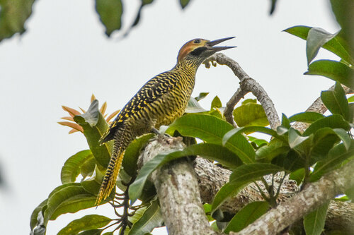
Farms & Plantations
Farmland, orchards, tobacco and sugar plantations.
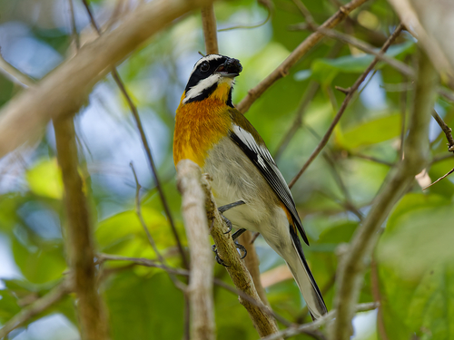
Fishing & Aquaculture
Fishing grounds, ports and aquaculture sites.

Trails & Viewpoints
Hiking trails, trailheads and scenic viewpoints.
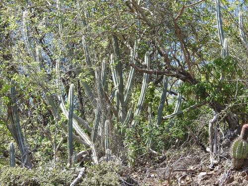
1959 Heritage
Pre-1959 sugar mills, railways, tobacco, mines and ports.