Artemisa · Cuba
Beaches in Artemisa, Cuba
Artemisa has 6 mapped beaches and 38 cays and offshore islands in the same province in this atlas. Playa Boca Ciega, Playa de Ariza and Playa de Guanímar are among them, and every entry below is a located record rather than a shortlist — coordinates, live conditions and whatever the atlas holds nearby.
Playa Habana is the northernmost, Playa de Ariza the southernmost — 41 km apart. Playa de Ariza and Playa La Luisa mark the eastern and western edges, 59 km across, and 67 km separates the two furthest of all.
2 of the 6 sit nearest Mariel: Playa Boca Ciega and Playa Mosquito. Then Güira de Melena (1), Guanimar (1) and Playa Baracoa (1).
- 6 mapped beaches
- 38 cays and offshore islands in the same province
Where they are in Artemisa
- Mariel — 2 beachesPlaya Boca Ciega, Playa Mosquito
- Güira de Melena — 1 beachesPlaya de Ariza
- Guanimar — 1 beachesPlaya de Guanímar
- Playa Baracoa — 1 beachesPlaya Habana
- Cabañas — 1 beachesPlaya La Luisa
All 6 mapped places
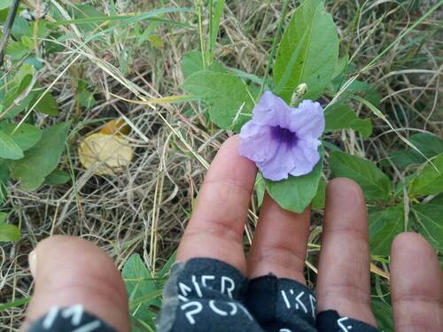
Beach · 23.033, -82.817
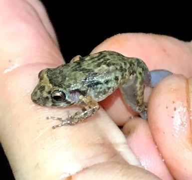
Beach · 22.683, -82.385
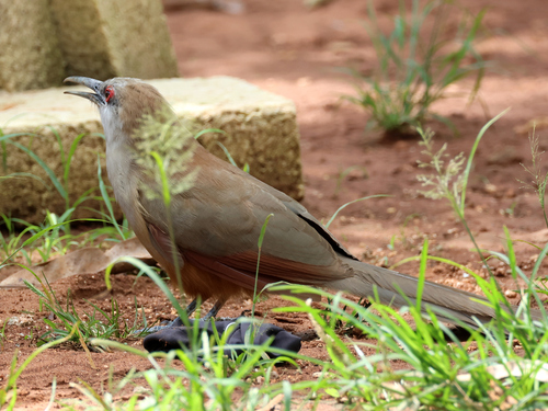
Beach · 22.688, -82.659

Beach · 23.054, -82.555
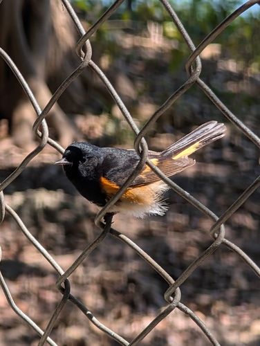
Beach · 22.971, -82.962
Beach · 23.033, -82.717
More of Artemisa
Frequently asked questions
- How many beaches are there in Artemisa?
- 6 are mapped here, out of 1,165 located records held for Artemisa as a whole. 2 of them are nearest to Mariel. This is a register of what exists and where, not a ranked top-ten.
- Which is the furthest north in Artemisa?
- Playa Habana, at 23.054°N. The southernmost is Playa de Ariza at 22.683°N — roughly 41 km apart.
- How spread out are they?
- 67 km separates the two furthest apart, Playa de Ariza and Playa La Luisa marking the eastern and western edges. Driving between them is a full day on Cuban roads, so most trips take one cluster at a time.