Mayabeque · Cuba
Beaches in Mayabeque, Cuba
Mayabeque has 9 mapped beaches and 2 cays and offshore islands in the same province in this atlas. Playa de Jibacoa, Playa del Muerto and Playa El Fraile are among them, and every entry below is a located record rather than a shortlist — coordinates, live conditions and whatever the atlas holds nearby.
Playa del Muerto is the northernmost, Playa Los Cocos the southernmost — 65 km apart. Playa Los Cocos and Playa Santa Isabel mark the eastern and western edges, 49 km across, and 75 km separates the two furthest of all.
4 of the 9 sit nearest Santa Cruz del Norte: Playa de Jibacoa, Playa El Fraile and Playa La Chivita. Then Nueva Paz (2), Playa Mayabeque (2) and Boca de Jaruco (1).
- 9 mapped beaches
- 2 cays and offshore islands in the same province
Where they are in Mayabeque
- Santa Cruz del Norte — 4 beachesPlaya de Jibacoa, Playa El Fraile, Playa La Chivita, Playa Rotilla
- Nueva Paz — 2 beachesPlaya Los Cocos, Playa Tasajera
- Playa Mayabeque — 2 beachesPlaya Santa Isabel, Playa del Rosario
- Boca de Jaruco — 1 beachesPlaya del Muerto
All 9 mapped places

Beach · 23.150, -81.850
.jpg?width=960)
Beach · 23.181, -82.058
_(5981834162).jpg?width=960)
Beach · 23.154, -81.871
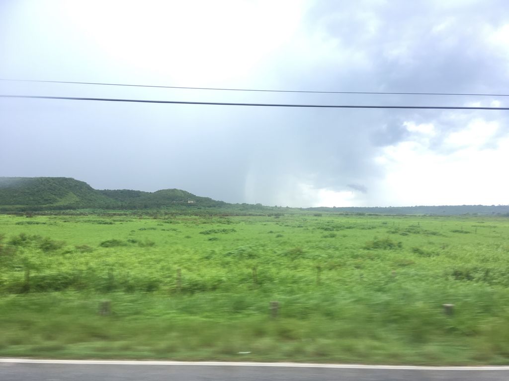
Beach · 23.150, -81.900

Beach · 22.594, -81.691
.jpg?width=960)
Beach · 23.150, -81.900
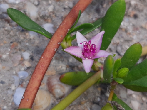
Beach · 22.683, -82.167
Beach · 22.667, -82.033
Beach · 22.639, -81.752
More of Mayabeque
Frequently asked questions
- How many beaches are there in Mayabeque?
- 9 are mapped here, out of 659 located records held for Mayabeque as a whole. 4 of them are nearest to Santa Cruz del Norte. This is a register of what exists and where, not a ranked top-ten.
- Which is the furthest north in Mayabeque?
- Playa del Muerto, at 23.181°N. The southernmost is Playa Los Cocos at 22.594°N — roughly 65 km apart.
- How spread out are they?
- 75 km separates the two furthest apart, Playa Los Cocos and Playa Santa Isabel marking the eastern and western edges. Driving between them is a full day on Cuban roads, so most trips take one cluster at a time.