Sancti Spíritus · Cuba
Beaches in Sancti Spíritus, Cuba
Sancti Spíritus has 7 mapped beaches and 22 cays and offshore islands in the same province in this atlas. Playa Ancoá, Playa Ancón and Playa Bofill are among them, and every entry below is a located record rather than a shortlist — coordinates, live conditions and whatever the atlas holds nearby.
Playa Bofill is the northernmost, Playa Las Majaguas the southernmost — 76 km apart. Playa Victoria and Playa Ancoá mark the eastern and western edges, 80 km across, and 107 km separates the two furthest of all.
4 of the 7 sit nearest Yaguajay: Playa Bofill, Playa de Carbó and Playa Júcaro. Then Casilda (Trinidad) (2) and Condado (1).
- 7 mapped beaches
- 22 cays and offshore islands in the same province
Where they are in Sancti Spíritus
- Yaguajay — 4 beachesPlaya Bofill, Playa de Carbó, Playa Júcaro, Playa Victoria
- Casilda (Trinidad) — 2 beachesPlaya Ancoá, Playa Ancón
- Condado — 1 beachesPlaya Las Majaguas
All 7 mapped places

Beach · 21.738, -80.007

Beach · 21.744, -79.985
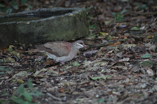
Beach · 22.400, -79.283
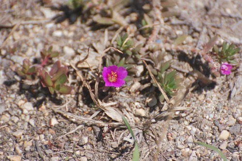
Beach · 22.376, -79.255

Beach · 22.396, -79.287
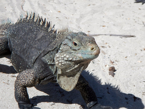
Beach · 21.717, -79.800

Beach · 22.383, -79.233
More of Sancti Spíritus
Frequently asked questions
- How many beaches are there in Sancti Spíritus?
- 7 are mapped here, out of 2,077 located records held for Sancti Spíritus as a whole. 4 of them are nearest to Yaguajay. This is a register of what exists and where, not a ranked top-ten.
- Which is the furthest north in Sancti Spíritus?
- Playa Bofill, at 22.400°N. The southernmost is Playa Las Majaguas at 21.717°N — roughly 76 km apart.
- How spread out are they?
- 107 km separates the two furthest apart, Playa Victoria and Playa Ancoá marking the eastern and western edges. Driving between them is a full day on Cuban roads, so most trips take one cluster at a time.