

Everything for CubaEverything you need for Cuba
All travel services →Cuba, place by place
All destinations →Cuba is the largest island in the Caribbean, lying just south of Florida and the Bahamas at the mouth of the Gulf of Mexico. The interactive map is the whole record: 1,769 places across 16 provinces, 15 airports with scheduled service, plus restaurants, places to stay and everyday essentials drawn live from OpenStreetMap once you descend to a street. Anything you like goes into your trip without leaving the view. New to the island? See where Cuba is on the map.
CubaAtlas is an interactive 3D map of Cuba: real terrain you can tilt and rotate, satellite imagery, and layers for beaches, cities, airports, ports and national parks, with storm and wildlife overlays from NOAA and iNaturalist. Open the 3D terrain map
Featured Cuba

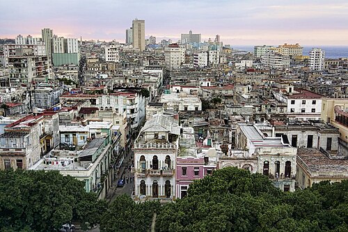
Five centuries of architecture, music and waterfront history.

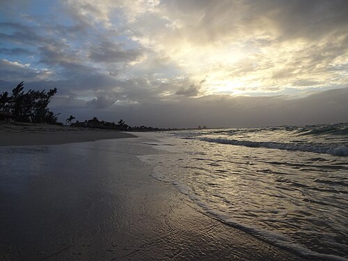
Twenty kilometres of white sand along the Hicacos Peninsula.

Tobacco valleys and limestone mogotes — a UNESCO landscape.

A colonial town preserved almost unchanged since the 1850s.

A French-founded bay city of neoclassical elegance.

Cuba's Caribbean soul — music, rebellion and rum.
Start with a place
Or start with what you need
Provinces
Airports with scheduled service
- Abel Santamaria International AirportSNU
- Antonio Maceo International AirportSCU
- Frank Pais International AirportHOG
- Ignacio Agramonte International AirportCMW
- José Martí International AirportHAV
- Juan Gualberto Gomez International AirportVRA
- Alberto Delgado AirportTND
- Carlos Manuel de Cespedes AirportBYM
- Gustavo Rizo AirportBCA
- Hermanos Ameijeiras AirportVTU
- Jaime Gonzalez AirportCFG
- Jardines Del Rey AirportCCC
- Rafael Cabrera AirportGER
- Sierra Maestra International AirportMZO
- Vilo Acuña International AirportCYO
Ask CubaAtlas anything
Places, visas, ports, shipping, history — every search resolves to a real answer or an honest next step.
Explore destinations