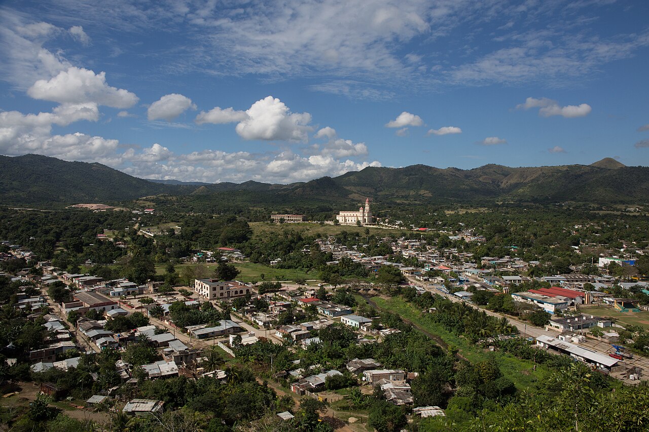


Planta de Níquel Pedro Soto Alba
Moa
The nickel plant on Moa bay, the red earth all around it.
Copper since the 1500s, nickel in the east, marble on the Isle
Cuba's minerals are concentrated in the east: nickel and cobalt in the red laterite around Moa, copper at El Cobre, and quarries for limestone, marble and gypsum scattered along the spine of the island. Mining towns look unlike the rest of Cuba — company housing, works railways, and a landscape the colour of brick.
The plants at Moa are working industry and are not open to visitors, but the road along the bay shows you the scale of them. El Cobre is the opposite: the shrine above the old workings is one of the most visited places in Cuba.
Worked for copper from the 1530s; the basilica on the hill above it is a national sanctuary.
Municipalities: Santiago de Cuba
Open on the mapThe nickel-bearing ground of the far east, and the towns built to work it.
Municipalities: Moa, Mayarí
Open on the mapA western copper town that took its name from the mine it was built around.
Municipalities: Minas de Matahambre
Open on the mapReal, mapped places where the work happens — factories, curing barns, estates, quarries. Each one opens on the atlas map at its own coordinate.
Moa
The nickel plant on Moa bay, the red earth all around it.
Moa
The engineering works that keep the mines running.
El Cobre
The old copper pit below the hill, worked from the 1500s.
Counters, markets and shops you can actually walk into, with the town each one is in.
Santa Clara
The craft square off the main park, stone and metalwork included.
Candelaria
A roadside craft market in the Sierra del Rosario foothills.
The museums, trails and music halls that grew up around it.

El Cobre
The national shrine on the hill above the copper workings.

El Cobre
The village park below the basilica, where the road turns.
Havana
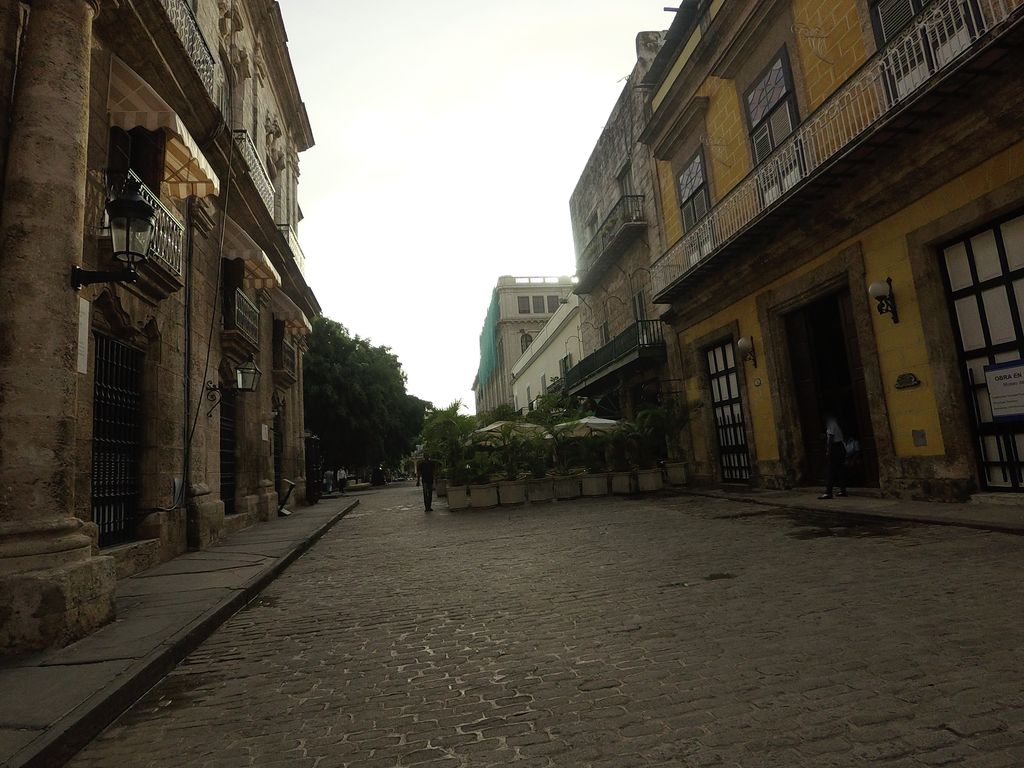
Silver and goldwork on Calle Obispo — what the metal became.
Places from OpenStreetMap contributors (ODbL). Information only — CubaAtlas maps these places, it does not represent or transact with any of them.